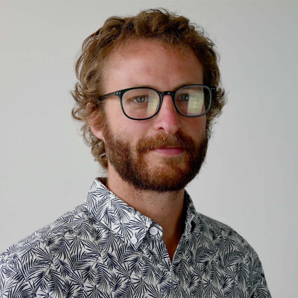
Meet Matthieu
Hello, my name is Matthieu Mureau. I have been a GIS Geomatics Consultant at Coexya for 15 years.
Throughout my career, I have worked on many aspects of geomatics: data processing and quality, database design, cartography, graphs, topology, and data governance. I’ve also had the opportunity to work with various technologies, ranging from ArcGIS solutions to, more recently, open-source tools.
I’ve supported clients from a wide range of sectors : water and wastewater, land surveying, local governments, transportation, energy, and the fields of CAD and BIM.
What Are Geographic Information Systems ?
GIS, or Geographic Information Systems, encompass all the tools used to store, manage, analyze, and visualize geographic data.
Behind every map lies a wealth of data, processing, and business rules. For example, a GIS can be used to locate infrastructure, plan operations, analyze a region, or facilitate decision-making through the visualization of information.
At Coexya, we provide services across this entire spectrum : GIS application development, automation of geographic data processing, management of spatial data infrastructure, user support, and leveraging geographic data.
Can you tell us more about your job as a GIS consultant and describe your main responsibilities ?
My job is, above all, to understand our clients needs and turn those needs into concrete solutions.
I work on a wide variety of projects : architectural studies, maintenance and upgrades of GIS platforms, data model design, migration of geographic information systems, and the implementation of automated processes.
I also work on long-term projects, sometimes spanning several years, that may involve migrating an entire GIS platform, integrating data from CAD systems into geographic repositories, creating mapping tools, or publishing web services.
A significant portion of my work is dedicated to design, documentation, and communication with clients and teams. I also place great importance on knowledge sharing, particularly regarding technologies such as FME, ArcGIS, and now QGIS, to support the professional development of our geomatics specialists.
What tools or technologies do you use most in your work ?
For a long time, my main tool was FME, a very powerful tool for integrating and transforming geographic data.
I also regularly use GIS clients like ArcGIS Pro or QGIS, spatial databases, development environments, and various platform administration tools.
Then, when I joined this team, I learned how to use an integrated development environment (IDE) and, of course, GitLab.
But to be honest, the tools I probably use the most on a daily basis are still those in the Microsoft Office suite! Between reports, studies, specifications, presentations, and communications with clients, they play a major role in the consulting profession.
And for some time now, AI-powered assistants have also become part of my new virtual team.
What attracted you most to your field of work / the field of GIS?
At first, it was the balance between fieldwork and office work, centered around plans and maps, that drew me in.
I’ve always found it fascinating to represent the real world on a sheet of paper or on a screen. The same data can tell very different stories depending on how it’s presented.
The field of GIS also combines several aspects that I appreciate : visual representation, logic, analysis, and problem-solving. It’s a profession where you’re constantly navigating between technical expertise and an understanding of business applications.
What excites you most about your work?
What I enjoy most is the diversity of the challenges we face.
Behind every project, there’s a concrete problem to solve: optimizing a route for someone with limited mobility, helping to schedule construction work, organizing an event, integrating a cadastral survey, or improving the quality of a data repository.
Every project is different and requires an understanding of the context, constraints, and user needs. It’s this variety that makes the job particularly stimulating.
Is there something about your job that few people know but that you think is important?
GIS is often associated with mapping, but the map is really just the tip of the iceberg.
A large part of our work involves listening to users, understanding their needs, structuring data, and devising tailored solutions. Technical skills are important, but so are active listening, curiosity, and the ability to bridge the gap between different disciplines.
A good GIS consultant doesn’t just provide a technical answer, they help transform a business challenge into an operational solution.
This project holds special significance for me, as it resonates with an important part of my career. I had already been involved in developing these tools about ten years ago, using the same foundations I had been working with more than fifteen years ago when I was still at Grand Lyon.
Being able to revisit such a formative project, while modernizing it with today’s technologies, is a particularly rewarding experience. It also allows me to gauge how far GIS tools and user needs have come over time.
How would you describe the atmosphere and team dynamics within your division ?
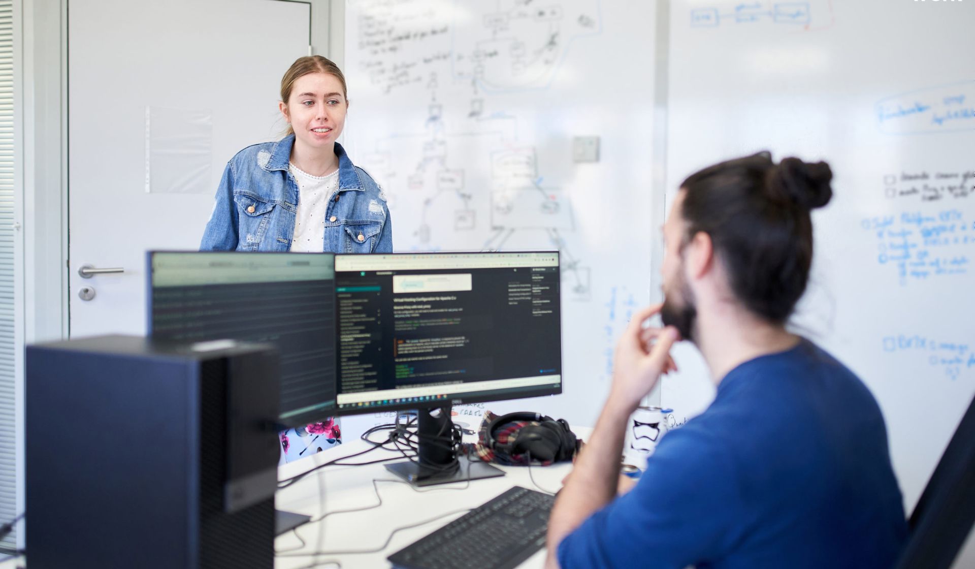
The atmosphere is very collaborative.
We work on different projects, but we all share a common interest in geomatics and geographic data. The teams regularly interact with one another throughout their assignments, which encourages the exchange of best practices and the sharing of experiences.
I particularly appreciate the diversity of backgrounds and expertise within the division. Everyone contributes their perspective and experience, which is very enriching on a daily basis.
There’s also a friendly atmosphere outside of projects, especially through various activities organized during breaks or lunch.
What led you to join Coexya ?
Curiosity.
At the time, I was a Coexya client and wanted to explore the world of IT services companies. I thought I’d stay for a year to broaden my professional experience.
Fifteen years later, I’m still here. The diversity of projects, technological advancements, variety of industries, and the people I’ve met over the years have all played a big part in keeping this adventure going.